Mount Independence State Historic Site
Categories
Historic SitesAttractions
Hours:
Late May thru Mid-October: Tuesday - Sunday 10 AM – 5 PM
Driving Directions:
From route 22A in Orwell, turn west on state route 73. Turn left on Mount Independence Road. Follow signs.
About Us
Mount Independence, built by the American Northern Army in 1776-1777 to defend Lake Champlain and New England from British invasion from Canada, is one of the best preserved Revolutionary War archeological sites in America. It sits on a northward facing peninsula opposite Fort Ticonderoga and was named after the Declaration of Independence. Military engineers used the rugged terrain to build the extensive three-level defenses, with cannon batteries, breastworks, and a star fort. After the Americans withdrew from the Mount and Ticonderoga on July 5 and 6, 1777, British and German troops under Lt. Gen. John Burgoyne occupied it until November 1777.
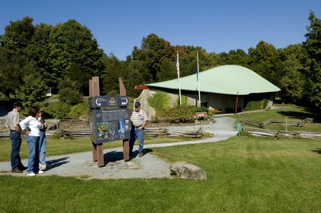
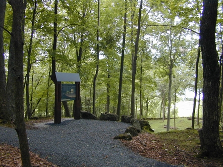
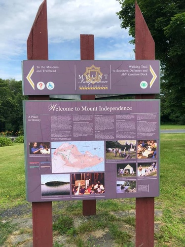
In the state of the art museum, exhibits use artifacts from archeological investigations and technology to tell the story of this major Revolutionary War fortification. See the orientation film, mural painting by Ernest Haas, cannon, logs from the great bridge between Mount Independence and Fort Ticonderoga, artifacts from daily life, building the fort, and a powderhorn owned by a soldier on the Mount. Six miles of trails, including the Baldwin Trail with interpretive signage, compacted surfaces, and gentle grades suitable for outdoor wheelchairs, wind past archeological remains of batteries, blockhouses, a hospital, and other buildings, and offer stunning views of Lake Champlain.
Video Media
Images


